
atmos:citation:research:titan_rview_animations_--_titan_cell_35dbz_threshold
TITAN Rview animation for 20190803_1424 flight.
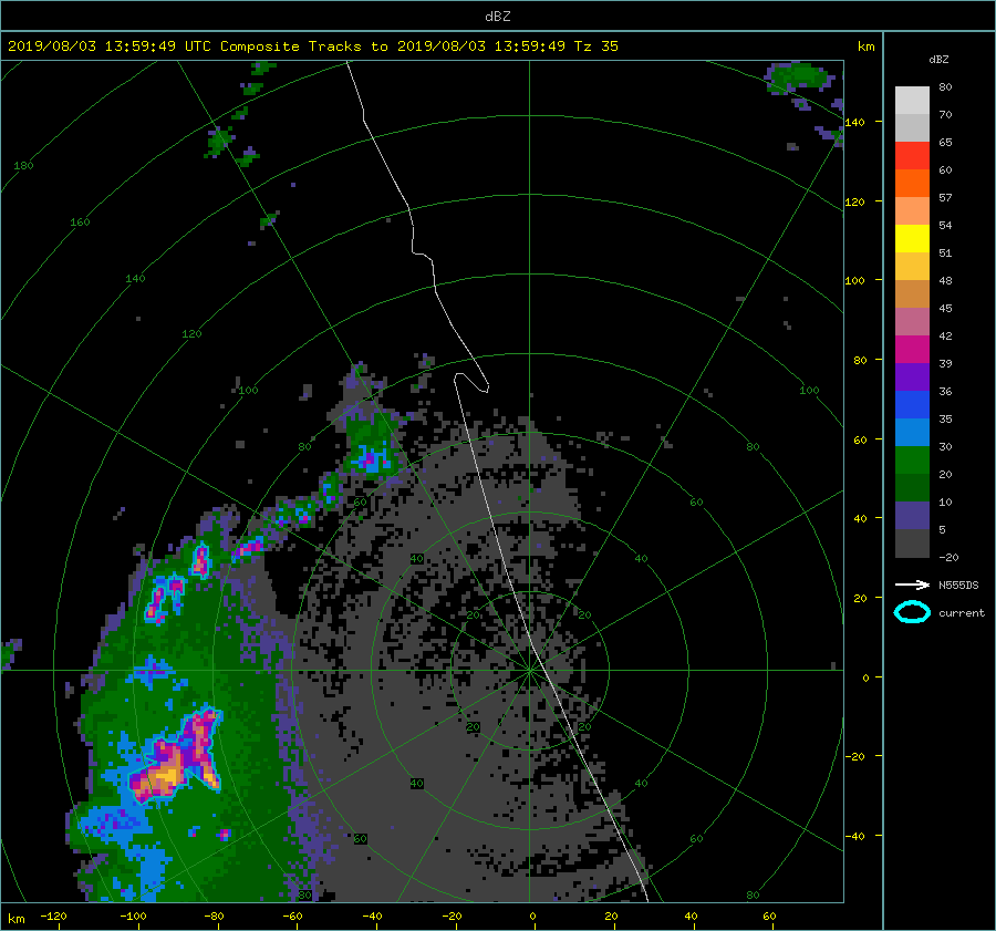
- Rview is displaying data provided from the National Weather Service's WSR-88D radar in Melbourne, Florida (KMLB). Also displayed on the animations is LROSE-TITAN cell-tracking (storm identification) information. A cell is defined by a minimum dBZ threshold of 35 dBZ. The cell tracking information resets every 24 hours (12z - 12z [+1]) to match the daily precipitation cycle the best.
EXAMPLE (ZOOMED) SNAPSHOT
This is a snap shot (date not important) to show the user how/what the aircraft track is displaying…
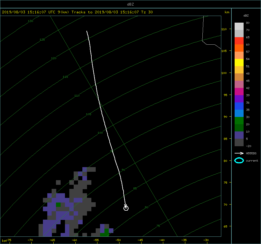
- The white aircraft track line consists of 300 sec (5 mins) of previous flight data, and 0 sec (0 mins) of future flight track data.
- The arrow is indicating the direction is aircraft is traveling in.
- The circle indicates the current aircraft position coinciding with the current timestamp displayed.
Here is the gif animation loop with the zip files provided underneath the animation for the 20190803_1424 flight (35dBZ Titan cell threshold)
- Blue outlines on the images depict the 35dBZ threshold which defines the cell core. This allows the TITAN algorithm to calculate the corresponding storm information.
atmos/citation/research/titan_rview_animations_--_titan_cell_35dbz_threshold.txt · Last modified: 2020/10/20 18:24 by cnairy